Monitoring Network TM-71 |
Bila Voda - trench "C"
(Czech republic) |
| Site: |
Bila Voda - trench "C" |
| Country: |
Czech republic |
| Coordinates: |
N 50°26'20,20''
E 16°54'24,17'' |
| Google Earth: |
If you can´t see anything, try to zoom out the map.
Download KML file for Google Earth |
| Gauge count: |
1 |
| Position: |
Former paleoseismic trench "C" 800 m ESE from the Bílá Voda village |
| Geological situation: |
Zone of Sudetic marginal fault at the foot of the Rychlebské Mts. |
Observed
fault 1 |
sudetic marginal fault
Course of inclination: 220 ° / Sklon: 70 °
Installation date: 21/01/2011 |
| Coopering institutions: |
Bila Voda municipality (web) |
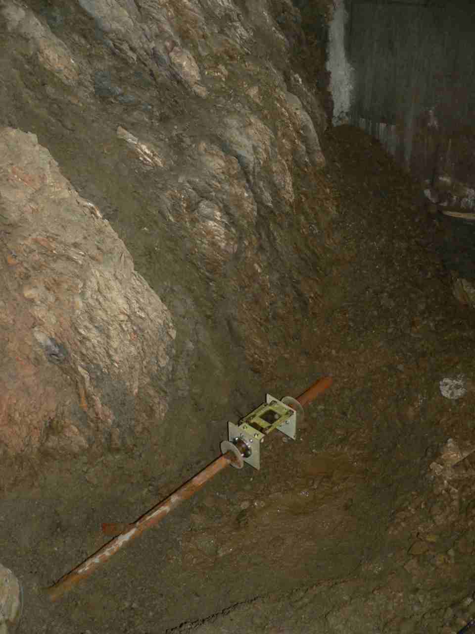
Picture/Photo:
(click for enlarge) |
 |
| |
Device TM-71 in the covered part of former paleoseismic trench "C" |
|


